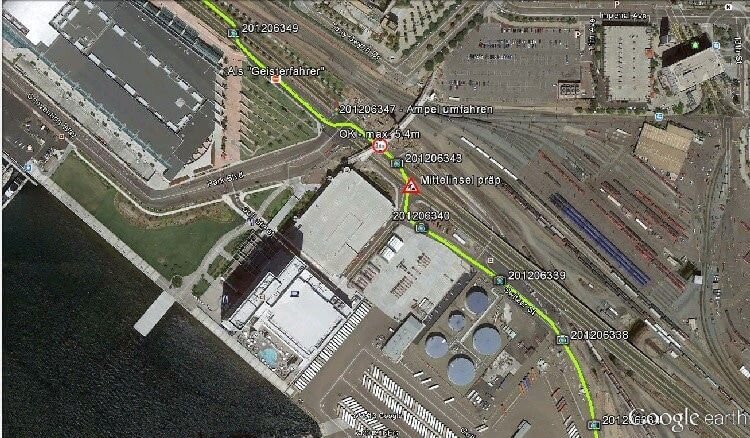
Definition of Digital Route Survey
Additionally, A Digital Route survey conducts a route survey across a narrow strip or ribbon-like area to identify and construct a travel and communication system.

Purposes of Digital Route Survey
- Roadways, highways, and railroads.
- Transmission lines for communications, fuel, chemical, water, and electrical needs.
- Canals, waterways, drainage ditches, and sewers.
- Likewise, View easements, air space easements, and egress easements such as approach.
Similarly, They do this on a larger scale and under different digital route survey conditions (intended to isolate specific subjects). Furthermore, They make sea ice conditions, river flood border, and forest fires.
But also, surveys of air routes for specific purposes such as recording centers.
However, The term route survey refers to surveys necessary for the location and construction of lines of Conveyance or communication that continue across the country for some distance, such as highways, raiway, Open channel systems, Pipe system, and Energy/telecom lines. Generally, the Preparatory survey for this work takes the form of a Geographical survey.
About Routes Survey-
But also, People have widely used Ground-based digital route survey in Bangladesh for centuries for mapping remote areas.
Similarly, A digital routes Cartography is a Exhaustive approach to Estimating and mapping.
The terrain and environment along a specific route or Passage. Leveraging advanced technology like GPS, LiDAR, and drones. It provides precise data on Giopography, Greenery, structures, and Necessities.
This Elaborate information is Priceless for a wide range of applications, including road and railway construction, Channel Integration, and utility Framework development.
With digital routes Cartography project Organizers can make informed decisions, Decrease Ecological impact, and Improve Cost-effectiveness.
By creating Reliable digital models of the area, engineers and designers can plan with confidence, Decreasing risks and Securing the long-term success of their projects.
Whether it’s for Conveyance, energy, or Telephony, digital routes Cartography are a crucial step toward smarter, more Renewable Framework development.

- Locating the centerline, usually marked by stakes at the required interval called Stations.
- Determining elevations along and across the centerline for plotting profile and cross-sections.
- Plotting the profile and cross-sections and fixing the grades.
- Computing the volumes of earthwork and preparing a mass diagram.
- Staking out the extremities for cuts and fills.
- Determining drainage areas to be used in the design of ditches and culverts.
- Laying out structures, such as bridges and culverts.
- Locating right-of-way boundaries, as well as staking out fence lines, if necessary Digital Route Survey.
