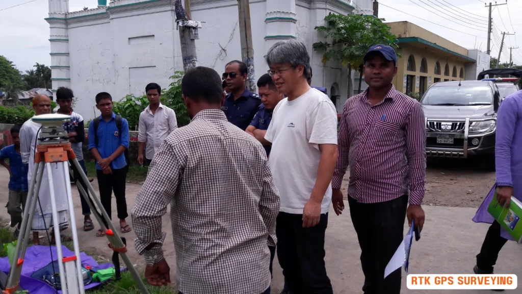
You’re leveraging RTK GPS surveying to achieve centimeter-level accuracy, a game-changer in construction projects that demand high-frequency surveys and precise measurements. This cutting-edge GPS technology utilizes real-time kinematic positioning, providing reliable and efficient results. By eliminating human error, RTK surveying guarantees accurate calculations, making it ideal for projects requiring high accuracy and precision. As you explore the capabilities of RTK surveying, you’ll discover its applications in construction, drone navigation, and more – and uncover the advantages of this precise and efficient technology that’s transforming the surveying landscape.
What Is RTK Surveying?
RTK surveying is a cutting-edge GPS technology that utilizes real-time kinematic positioning to provide you with centimeter-level accuracy, making it an ideal solution for construction projects that demand high-frequency surveys and precise measurements.
As a construction professional, you’re likely familiar with the importance of accuracy in your projects.
RTK surveying eliminates the need for traditional surveying methods, which can be prone to human error, and instead provides you with reliable and efficient results.
How RTK Surveying Works
Operating a precise surveying system relies on understanding the intricate dance between two essential components: a base station and a rover, which work in tandem to provide centimeter-level accuracy.
- The “base station,” a fixed point with a known location, computes corrections by comparing its known location with the GNSS data it receives. These corrections are then transmitted to the rover in real-time, allowing it to achieve high accuracy.
- As the “rover” receives these corrections, it adjusts its own GNSS data, resulting in a more accurate calculation of its position. This process enables you to achieve accuracy of up to 1-2 cm, depending on the quality of the corrections and GNSS signals.
- The range of the system is typically limited to around 10-20 km, but can be extended using repeaters or other technologies.
RTK Survey Equipment Overview
Your RTK survey equipment setup typically comprises two key components: a base station and a rover, working in tandem to provide centimeter-level accuracy.
- The “base station” is a static point with fixed coordinates determined by other precision methods in surveying, and it computes errors by comparing its precise location with GNSS data and transmits corrections to the rover in real-time.
- This setup enables you to achieve an accuracy of 0.8cm +/- 1ppm horizontal and 1.5cm +/- 1ppm vertical, which can be transformed to absolute accuracy by tying in monuments.
As you work with your RTK survey equipment, you’ll find it’s mainly used for construction applications that require higher frequency, such as cadastral survey, and it’s also used in drone navigation and other construction activities.
To get the most out of your equipment, you’ll need a pre-surveyed base station with known coordinates.
Keep in mind that the system may not be effective in areas with poor satellite signal reception, marine areas, lands with obstructions, or projects that disrupt communication.
Advantages of RTK Technology
By leveraging the precision of your RTK survey equipment, you can tap into a range of benefits that transform the surveying process, including unparalleled accuracy and efficiency.
- With “RTK technology,” you can eliminate human errors inherent in traditional surveying methods, achieving centimeter-level accuracy that’s essential for precise construction projects.
- RTK systems rely on satellite, radio positioning, and communication, making them notably faster than traditional methods. This enables you to conduct high-frequency surveys, ideal for projects that require rapid data collection and analysis.
- By reducing errors and improving overall construction efficiency, RTK technology becomes an indispensable tool for projects demanding high accuracy and precision.
- In addition, “RTK survey” helps you develop construction layouts quickly, reducing the time and cost associated with traditional surveying methods.
- The high accuracy and reliability of RTK technology make it an ideal solution for precise construction projects, such as “cadastral surveys,” that require centimeter-level precision.
RTK Surveying Applications
Across various industries, RTK surveying technology is being applied in diverse applications that demand high-accuracy spatial data, from construction and drone navigation to precision agriculture and forensic reporting.
As you explore the capabilities of RTK surveying, you’ll discover its significance in cadastral surveying, where centimeter-level accuracy is vital.
In construction, RTK survey instruments enable high-frequency measurements, facilitating precise monitoring of infrastructure development.
In drone navigation, RTK surveying guarantees precise flight paths and accurate data collection, particularly in aerial mapping and 3D modeling.
Additionally, in precision agriculture, RTK surveying creates accurate maps of fields, tracks crop yields, and optimizes farming practices.
Furthermore, the technology is used in crash site forensic reporting to recreate accident scenes and gather evidence.
Finally, RTK surveying is applied in hydrographic surveying to map waterways, rivers, and coastal areas, helping to monitor water levels and track changes in coastlines.
Choosing the Right RTK Instrument
When selecting an RTK instrument that meets specific surveying needs and guarantees superior performance in the field, several key factors come into play.
- The “frequency band” is a crucial consideration. L1-only systems are more affordable but less accurate than dual-frequency systems that can achieve 1-2 cm accuracy.
- The type of “antenna” used is also essential. Fixed antennas provide better multipath mitigation than patch antennas.
- “Power consumption” is another important aspect, as a longer battery life can be essential for extended surveys or remote areas, with some instruments offering up to 12 hours of operation.
- Verify that the RTK instrument is compatible with different correction services, such as “NTRIP or VRS,” as this can affect the accuracy and reliability of the corrections.
- The “user interface and software integration” of the RTK instrument are critical, as these can impact the ease of use, data processing, and compatibility with other surveying tools.
Frequently Asked Questions
Q: What is RTK GPS Surveying Technology?
A: RTK GPS Surveying Technology, or Real-Time Kinematic Global Positioning System, is a technique that uses a network of reference stations and receivers to provide high-precision location data in real time, often used in surveying and construction.
Q: How does RTK GPS Surveying work?
A: RTK GPS surveying works by transmitting signals from a stationary reference station to a mobile receiver. The receiver then uses these signals to correct its own GPS measurements, resulting in a more accurate determination of the position, often within a centimeter.
Q: What are the advantages of using RTK GPS Surveying over traditional surveying methods?
A: The advantages of using RTK GPS surveying over traditional methods include significantly enhanced accuracy, faster data collection times, and the ability to conduct surveys in real-time, which increases overall productivity in construction and other applications.
Q: What components are involved in an RTK GPS Surveying system?
A: An RTK GPS surveying system typically consists of a base station, which is a stationary reference point, and one or more mobile receivers that collect data. The base station provides the corrections needed to enhance the accuracy of the measurements taken by the mobile device.
Q: In what range of applications is RTK GPS Surveying technology used?
A: RTK GPS surveying technology is used in a variety of applications including construction, agriculture, mapping, and environmental monitoring, allowing for precise measurements and positioning in each of these fields.
Q: How does RTK GPS ensure stable measurements in challenging environments?
A: RTK GPS ensures stable measurements by using multiple satellites from the global navigation satellite network and advanced algorithms to filter out noise and interference, which helps maintain accuracy even in areas with obstacles like trees or buildings.
Q: What is the principle behind the phase measurements in RTK GPS?
A: The principle behind phase measurements in RTK GPS involves comparing the phase of the signals received from satellites to those transmitted by the reference station, allowing for highly precise relative positioning between the two points.
Q: How do I determine the best settings for my RTK GPS device?
A: Determining the best settings for your RTK GPS device involves assessing the specific requirements of your project, such as the desired accuracy, environmental conditions, and the range of applications you plan to use the device for, ensuring that you optimize performance accordingly.
Q: What factors can complicate GPS work in surveying?
A: Factors that can complicate GPS work in surveying include signal obstructions (like buildings or trees), atmospheric conditions, multipath effects (where signals bounce off surfaces), and incorrect settings on the GPS device, all of which can affect measurement accuracy.
Conclusion
RTK surveying has revolutionized the field of geospatial data collection.
With its unparalleled accuracy and precision, it’s no wonder that RTK technology is now the gold standard in surveying.
In fact, did you know that RTK surveying can achieve accuracy as high as 1-2 cm, even in challenging environments?
This level of precision has enabled surveyors to collect data faster and more accurately than ever before, making it an indispensable tool in modern surveying.
For a professional and accurate RTK surveying experience, call Sonar Bangla Survey Consultants office at +880 1742 585592 and get a free quotation from our team, backed by over 150 5-star reviews on Google.