The primary goal of topographic surveys

opographic survey involves determining the horizontal and vertical locations of objects on the surface of the earth. Horizontal location entails locating ‘objects’ like roads, railways, ponds, houses,
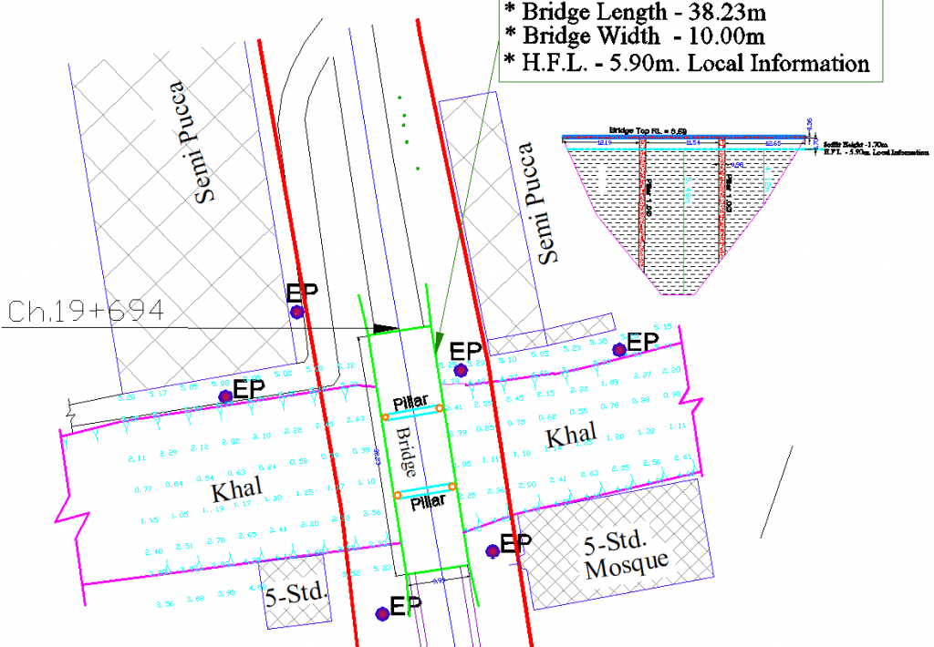
ব্রিজ টপোগ্রাফিক জরিপ

টোগোগ্রাফিক এবং জলবিদ্যুত জরিপের সাহায্যে সেতু জরিপ পরিষেবাগুলির ভিত্তি রয়েছে। আমরা ব্রিজ সমীক্ষা সংগ্রহ করি এবং 3 ডি তে উচ্চ পয়েন্টের ঘনত্বের সাথে উপস্থিত থাকি, যা সেতু নির্মাণে সহায়তা করে
Benefits of Bridge Survey

Throughout our time as surveyors, Landform Surveys have surveyed several bridges throughout the UK. Surveying bridges provide a unique challenge with part of the structure..
How Topographic Surveys Are Conducted?

For conducting topographic surveys, a survey-quality Global Positioning System (GPS) unit and an electronic distance measurement (EDM) total station
